

As winter weather continues to impact the Mid-Atlantic, Washington, D.C., residents should prepare for frigid temperatures and the possibility of light snow showers later this week. While the heaviest snowfall will stay south of the region, the nation’s capital will still experience winter’s chilling grip. According to FOX 5 Meteorologist Caitlin Roth, snow showers are likely on Thursday, though major accumulation is not expected.
Arctic Blast Brings Freezing Conditions to Washington, D.C.
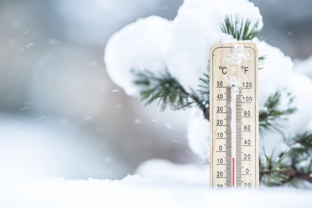
Residents in Washington, D.C., should brace for a deep freeze this week as Arctic air settles over the region. Daytime high temperatures are forecasted to stay in the low-to-mid 30s, while the wind chill will make it feel even colder. The bitter conditions will persist for several days, making warm layers and winter accessories essential for anyone venturing outdoors.
The cold snap is expected to last through the weekend, though temperatures will gradually begin to moderate by Sunday. In the meantime, the wind chill factor will create dangerously low “feels-like” temperatures, particularly in the early mornings and late evenings.
Winter Storm System Tracking South of D.C.
While much of the Mid-Atlantic region is dealing with an incoming winter storm, Washington, D.C., appears to be on the northern fringe of the system. The most intense snowfall will likely stay further south, affecting parts of southern Maryland and central Virginia more significantly. As a result, D.C. is not expected to see major accumulations.
However, light snow showers are still possible, particularly on Thursday morning. Though these flurries may coat some surfaces with up to half an inch of snow, meteorologists do not anticipate heavy or prolonged snowfall. Drivers and pedestrians should still exercise caution, as any Snowfall could create slick spots on roads and sidewalks.
Detailed Daily Weather Breakdown for Washington, D.C.
Wednesday: Cloudy and Cold
On Wednesday, D.C. residents will experience cloudy skies and cold temperatures throughout the day. Highs will struggle to climb above freezing, and there is a slight chance of snow flurries in the afternoon and evening. However, no significant accumulation is expected, as most of the moisture will remain south of the region.
The wind chill will make it feel even colder, so residents should dress in layers and prepare for a brisk winter day.
Thursday: Light Snow Showers Possible
Thursday is the day to watch for potential snowfall in the D.C. area. Meteorologists predict that light snow showers could develop during the morning hours, lasting for about one to two hours. While the overall precipitation amounts will be minimal, some surfaces may see a light dusting, with accumulation reaching up to half an inch in some areas.
Despite the potential for snowfall, temperatures will remain just above freezing during the day, which should limit major impacts on travel. However, any untreated roads, bridges, or overpasses may become slick, particularly during the morning commute.
By the afternoon, skies will begin to clear, but cold temperatures will persist, with highs only reaching the mid-30s.
Friday: Sunshine Returns, but Cold Conditions Continue
By Friday, the winter storm system will have moved away from the region, allowing sunshine to return to the D.C. area. However, the cold temperatures will remain, with daytime highs struggling to reach 40°F. The combination of sunshine and drier air will make for a pleasant, though chilly, end to the workweek.
Nighttime temperatures will remain below freezing, so any lingering moisture could refreeze, creating icy patches on roads and sidewalks. Commuters should remain cautious when traveling in the early morning or late evening hours.
Looking Ahead: Weekend Forecast for Washington, D.C.
Saturday: Gradual Warm-Up Begins
Saturday will mark the beginning of a slow but steady warm-up for the D.C. area. High temperatures are expected to climb into the low 40s, offering a slight reprieve from the deep freeze earlier in the week. Skies will be mostly clear, and dry conditions will prevail, making it a good day for outdoor activities.
Although the daytime hours will feel more comfortable, nighttime temperatures will still drop below freezing, so residents should remain prepared for cold mornings and evenings.
Sunday: Milder Temperatures with Sunshine
By Sunday, Washington, D.C., will see a noticeable improvement in temperatures. Highs are expected to reach near 50°F, providing a much-needed break from the bitter cold. Sunny skies will make for a pleasant end to the weekend, giving residents an opportunity to enjoy outdoor activities before another potential cold front moves in next week.
The milder conditions will continue into early next week, but forecasters are keeping an eye on another potential system that could bring precipitation to the region by midweek.
Winter Weather Tips for D.C. Residents
As Washington, D.C., deals with this round of cold weather and light snowfall, residents should take the following precautions:
Dress in Layers The wind chill will make temperatures feel much colder than they are, so wearing multiple layers, hats, and gloves is essential when spending time outdoors.
2.Be Cautious on the Roads Even a light dusting of snow can create hazardous driving conditions, especially on untreated roads. Drive slowly and allow extra stopping distance.
3. Prepare for Cold Mornings With subfreezing temperatures expected overnight, make sure to start your car a few minutes early before heading out in the morning.
4. Check on Vulnerable Individuals Ensure that elderly neighbors, pets, and individuals experiencing homelessness have access to warm shelter.
5. Stay Informed Monitor weather updates from trusted sources like FOX 5 and the National Weather Service to stay ahead of changing conditions.
Final Thoughts: What to Expect in the Coming Days
The incoming winter storm will not hit the D.C. area the hardest, but residents should still prepare for cold temperatures and a brief period of light snow showers on Thursday. Fortunately, experts expect the snowfall to be minor, and they predict minimal accumulation.
As the weekend approaches, temperatures will gradually rise, with highs reaching near 50°F by Sunday. This warming trend will provide a brief break from the Arctic air, but winter is far from over. Meteorologists will continue to track potential weather systems that could bring additional precipitation in the coming weeks.
For the latest weather UPDATE ZAFF TRENDS and forecasts, stay tuned to FOX 5 and other trusted sources. Be sure to take necessary precautions to stay safe and warm during this stretch of winter weather in Washington, D.C.


